
SERVICES
Boundary Surveys
Boundary surveying defines exact property lines, preventing disputes and ensuring clarity for building, buying, or selling land.
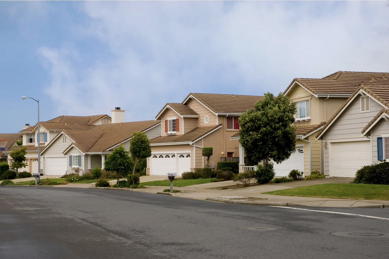
Subdivision / Combination Surveys
Subdivision/Combination surveys split or merge land parcels, creating accurate lots or unified tracts for development, sales, or property records.

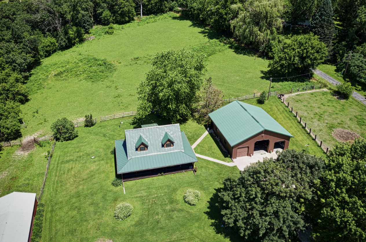
Topographic Surveys
Topographic surveys map land features, elevations, and contours, giving accurate detail for design, construction, drainage, and land development planning.

Site Plan Surveys
Site plan surveys show your property’s layout, buildings, and improvements, helping with permits, planning, and construction projects.
ALTA surveys
An ALTA survey gives a detailed map of property boundaries, buildings, and easements, often required for real estate deals, lenders, and title companies.

Telecommunication surveys
Telecommunication surveys map land and features to plan cell towers, antennas, and networks, ensuring safe, accurate placement and reliable connections.

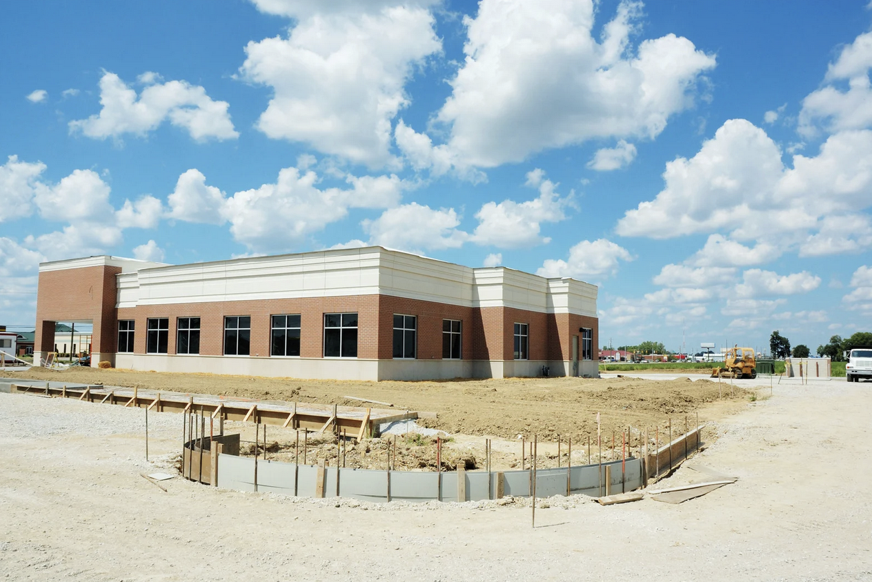
Construction as-built surveys
Construction As-Built surveys show where buildings, utilities, and improvements were built, making sure projects match plans and records stay accurate.
FEMA/LOMA certificates
FEMA LOMA certificates verify if your property is in a flood zone or not, helping lower insurance costs and giving peace of mind for homeowners and buyers.
Start Your Project with Confidence
Partner with Hilton Land Surveying for dependable results, timely service, and the professional insight your project deserves.